Blog Details
- Member
- December 28, 2025
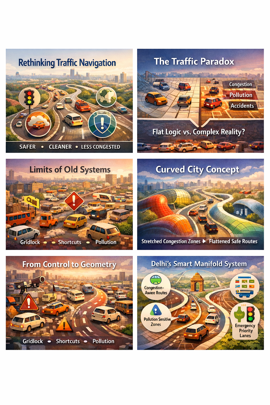
Reimagining Urban Traffic From Faster Routes to Smarter Space
Purpose
The purpose of this document is to
propose a fundamentally new way of managing urban traffic congestion by
reframing how navigation and control systems understand city space itself.
Instead of attempting to optimize traffic movement within a rigid, Euclidean
representation of roads and distances, this approach embeds congestion, safety,
pollution, and regulatory constraints directly into the geometry of the
navigation space. The objective is not merely to move vehicles faster, but to
make the safest, least congested, and least harmful paths feel naturally
shorter and easier to both drivers and algorithms. Delhi, with its extreme
congestion, air-quality stress, and complex road network, offers a compelling
testbed for this shift.
Introduction
Urban traffic systems today operate
on a paradox. While cities invest heavily in data, sensors, and intelligent
transport systems, the core navigation logic guiding millions of daily
decisions still treats roads as flat surfaces measured primarily in distance
and time. Congestion, pollution hotspots, accident-prone zones, and regulatory
sensitivities are layered on as afterthoughts—warnings, penalties, or static
rules—rather than being intrinsic to how movement is computed.
This document introduces a different
paradigm: non-Euclidean navigation manifolds for urban traffic, where
the city is mathematically reshaped so that constraints stretch space and safe
corridors flatten it. In such a system, congestion is not something to be
avoided by instruction, but something that becomes geometrically “far away.”
The result is a traffic system that nudges behavior through geometry rather
than enforcement.
Background:
Limits of Conventional Traffic Optimization
Traditional traffic management
systems rely on three core levers: signal timing, route optimization, and
enforcement. Navigation applications typically minimize travel time or
distance, occasionally offering “avoid tolls” or “avoid highways” as optional
filters. While effective at an individual level, these approaches collectively
create systemic failures: herding effects, sudden congestion shifts, unsafe
shortcuts through residential areas, and increased exposure to pollution.
In Delhi, these issues are amplified
by heterogeneous traffic, informal lane usage, frequent construction, seasonal
pollution spikes, and sensitive zones such as schools, hospitals, and heritage
corridors. Attempts to solve these problems by adding more rules or static
restrictions have struggled because they fight against the underlying geometry
of decision-making, rather than reshaping it.
Evolution
of the Methodology: From Flat Maps to Curved City Space
The methodological evolution
proposed here shifts focus from optimizing paths within space to modifying
the space itself.
At the core is the idea of information-geometric
warping. Instead of measuring distance purely in meters or minutes, the
system defines a dynamic metric where distance is measured in curvature.
Congested roads, high-pollution corridors, accident-prone intersections, or
areas under regulatory stress introduce high curvature into the space. As
vehicles approach these regions, the navigation space stretches, making
progress feel slower and paths feel longer—even if the physical distance is
short.
This warping is not static. It
evolves in real time based on traffic density, air-quality sensors, incident
reports, weather conditions, and policy priorities (for example, school hours
or emergency corridors). Algorithms navigating this space naturally follow
geodesics—smooth, low-curvature paths—without needing explicit prohibitions.
To handle uncertainty and local
irregularities (such as sudden congestion or partial road closures), the system
incorporates controlled stochasticity. Small, structured “noise” allows routing
decisions to escape local minima—analogous to vehicles discovering underused
corridors without destabilizing the system as a whole.
The
Breakthrough: From Control to Geometry
The breakthrough lies in replacing command-and-control
traffic management with geometry-driven self-organization.
Instead of telling drivers where not
to go, the system reshapes the city so that problematic areas become
geometrically unattractive. Instead of enforcing rigid constraints, it embeds
safety, pollution, and congestion directly into the navigational fabric. This
resolves a long-standing trade-off in traffic systems: the tension between
speed and safety, or between individual convenience and collective wellbeing.
In this framework, large steps
toward efficiency are possible without catastrophic failure because the “walls”
of the system—gridlock, unsafe zones, ecological stress—are pushed infinitely
far away in geometric terms until the system is ready to approach them safely.
Applications:
Delhi Traffic Management System
1.
Congestion-Aware Urban Manifold for Delhi
Delhi’s road network is re-modeled
as a living manifold rather than a static map. High-congestion corridors such
as arterial roads during peak hours induce strong curvature. As traffic builds,
the space around these roads stretches, making alternative routes naturally
more attractive without explicit rerouting commands.
This prevents sudden congestion
collapse caused by too many vehicles reacting to the same optimization signal.
2.
Pollution-Sensitive Navigation Layers
Air-quality data (AQI, PM2.5, NOx)
is incorporated directly into the metric. During high-pollution episodes,
sensitive zones—schools, hospitals, residential neighborhoods—become regions of
increased curvature. Vehicles are gently steered away, reducing exposure without
banning access.
For vulnerable populations or
emergency services, customized manifolds can flatten these regions selectively,
ensuring equity and access.
3.
Safety-Weighted Curvature at Black Spots
Accident-prone intersections and
chaotic merges introduce permanent curvature into the space. Even if these
routes appear faster in Euclidean terms, they become longer in the warped
geometry. Over time, traffic redistributes itself away from high-risk zones,
reducing accidents without additional policing.
4.
Adaptive Signal and Corridor Coordination
Traffic signals and corridors
operate as boundary-condition controllers rather than isolated optimizers. When
curvature increases upstream, signals downstream adapt preemptively. This
transforms signal systems from reactive devices into anticipatory geometric
actuators.
5.
Public Transport and Emergency Priority Manifolds
Dedicated manifolds are created for
buses, ambulances, and fire services. In these geometries, congestion-induced
curvature is suppressed along designated corridors, allowing these vehicles to
experience the city as flatter and faster—without physically separating lanes
everywhere.
6.
Citizen-Facing Navigation and Transparency
Navigation applications present
users with intuitive choices: “Fast,” “Low Congestion,” “Cleaner Air,” or
“Safer Route.” Behind the scenes, all are manifestations of different geometric
weightings. Citizens retain agency, but the city quietly aligns individual
choices with collective outcomes.
Closing
Perspective
This approach does not claim to
eliminate congestion overnight, nor does it replace the need for infrastructure
investment, public transport expansion, or emission control. Its value lies in
changing how everyday decisions interact with systemic constraints.
By moving from flat maps to curved
urban space, Delhi can evolve from reactive traffic control to geometrically
intelligent mobility. In such a city, the easiest path increasingly becomes
the best one—not because it is enforced, but because the city itself has been
reshaped to guide movement wisely.